Super Interactive Maps for WordPress 2.4

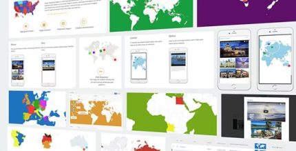
Super Interactive Maps for WordPress is a versatile vector map plugin that lets you build country, continent, and regional maps with interactive markers. It delivers location insights and a superior user experience via responsive maps, tooltips, lightbox popups, and drag‑and‑drop pins—type: plugin. A perfect choice for engaging geolocation visuals on your site.
Description
Super Interactive Maps for WordPress is a vector map plugin for building country, continent, and regional visuals with interactive markers. It helps you turn locations (hotels, cafés, airports, and more) into engaging map experiences on your site. Integrated with the Google Geochart API, it supports responsive layouts, so maps adapt cleanly across devices. With tooltips, lightbox popups, zoom and pan, and drag-and-drop pins, you can present location insights in a user-friendly way. It also works with popular WordPress page builders such as Visual Composer, using shortcodes to place maps where you need them.
Main Features
- 300+ built-in maps — Access a large library of country and region maps within one plugin.
- Vector SVG and maps — Use vector graphics for clear, scalable map rendering.
- Google Geochart API integration — Create interactive map views powered by geochart functionality.
- Responsive mobile-friendly maps — Ensure cross-device and browser compatibility.
- Drag-and-drop marker placement — Pinpoint exact locations using an admin-friendly drag-and-drop workflow.
- Autocomplete location search — Quickly add locations to your map without manual entry.
- Interactive tooltips — Show contextual information directly on hover or interaction.
- Lightbox popups for rich content — Display text, images, or videos in an on-page overlay.
- Zoom, pan, and map display modes — Navigate maps and choose how locations appear (regions, markers, or text labels).
- Shortcode placement — Insert maps into posts, pages, and widget areas.
Benefits
- More engaging location UX — Interactive markers and tooltips help users explore places with less confusion.
- Better content presentation — Lightbox popups make it easy to showcase images, text, or video per location.
- Faster setup — Autocomplete search and built-in maps reduce the effort needed to publish geolocation content.
- Stronger visitor interaction — Zoom and pan encourage users to spend more time on your map area.
- Improved on-page clarity — Custom styles, colors, and display modes make location information easier to scan.
Who is it suitable for?
- Travel, hospitality, and tour websites
- Real estate and property directories
- Local business sites and multi-branch organizations
- Agencies building geolocation pages for clients
- Content creators publishing regional guides
- WooCommerce stores featuring store locators or service areas