Interactive World Maps 2.5
Description
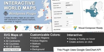
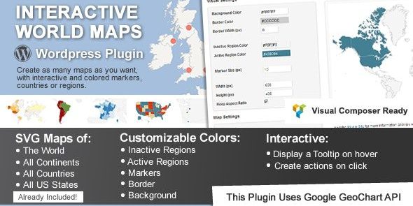
Interactive World Maps is a WordPress plugin for building unlimited interactive maps with colored regions and clickable markers. It helps you turn geographic content—continents, countries, and US states—into a more engaging experience by adding hover tooltips and on-click actions. Instead of static images, you can present regional data in a visual format that supports exploration and clearer storytelling. The plugin is fully compatible with the brand new WordPress v.5 and focuses on flexible customization for colors, sizes, and layouts.
With built-in map sets for the world, major regions, virtually all countries, and detailed US state and metro-area views, it’s suitable for regional analytics, event coverage, and location-based navigation. You can highlight areas as complete regions or add marker bubbles where you need more precision.
Main Features
- Unlimited map creation — Build as many interactive maps as you need within WordPress.
- Prebuilt map coverage — Includes world, continents, sub-continents, and virtually all countries.
- Country and regional maps — Offers country views and country divisions by regions.
- United States detail — Includes US states plus views divided by metropolitan areas.
- Region coloring — Color whole regions as active areas, including continents, countries, and US states.
- Marker bubbles — Add colored markers to pinpoint specific locations within chosen regions.
- Hover tooltips — Show tooltips on hover with the information you provide.
- Click actions — Open a URL or display a message when users click an active area.
- Custom JavaScript actions — Advanced users can create JavaScript functions for tailored behavior.
- Visual customization — Adjust background, border width/color, inactive colors, individual region colors, marker size, and map width/height.
Benefits
- Higher engagement — Hover tooltips and clickable areas encourage users to explore geographic information.
- Clearer regional communication — Colored regions and markers make coverage areas easy to understand at a glance.
- Better UX for location content — Interactive actions replace static maps with guided, user-driven discovery.
- More informative storytelling — Tooltips and region labeling support contextual narratives by area.
- Design consistency — Custom colors, borders, and sizing help maps match your WordPress layouts.
Who is it suitable for?
- WooCommerce stores showing shipping or service regions.
- Marketing sites and landing pages with location-based campaigns.
- Agencies and freelancers building interactive WordPress assets.
- News, education, and research projects presenting regional statistics.
- Event organizers highlighting country, continent, or US metro coverage.
- Bloggers and content creators featuring geography-led guides.