Mapplic 8.7.6 – Custom Interactive Map WordPress Plugin
Description
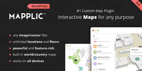
Mapplic is a WordPress plugin that transforms regular images and vector graphics into responsive, interactive maps. It helps you solve the common problem of static location visuals by adding an engaging way to explore regions, points of interest, or selectable areas. With built-in maps for 15 geographical areas, you can launch mapping content faster without starting from scratch. The plugin is fully customizable, so your map styling can match your WordPress theme and site design. Ideal for showcasing places clearly, it encourages visitors to interact rather than simply scroll past.
Whether you’re visualizing coverage, events, or location-based information, Mapplic turns your assets into map-based experiences that adapt to different screen sizes. The result is a cleaner UX and a more exploratory experience for your audience.
Main Features
- Image-to-map conversion — Turn ordinary images into responsive interactive map layouts.
- Vector support — Use vector artwork to keep map visuals crisp and flexible.
- Interactive map behavior — Enable users to explore areas through built-in interactivity.
- Responsive design — Maps adjust to desktop and mobile screens for consistent viewing.
- Fully customizable styling — Adjust visuals to fit your WordPress theme and branding.
- Built-in maps for 15 regions — Start with ready-made geographical map templates.
- Easy map creation — Configure map content using the plugin’s built-in workflow.
- Distinct mapping experience — Create map-driven pages that feel more interactive than standard image embeds.
Benefits
- Higher engagement — Visitors interact with map areas instead of viewing a static graphic.
- Better user experience — Clear, responsive visuals improve usability across devices.
- Faster publishing — Prebuilt maps for 15 geographical areas reduce setup time.
- Stronger content clarity — Location information becomes easier to understand at a glance.
- Improved on-page performance — Interactive map content can help increase time on page and reduce bounce.
- Flexible presentation — Custom styling supports consistent design with your site.
Who is it suitable for?
- WooCommerce stores that want to display store locations or service coverage.
- Business websites and corporate landing pages for regions, branches, and territories.
- Agencies building interactive client projects on WordPress.
- Travel, events, and directory sites that rely on location-based browsing.
- Real estate and property platforms showing neighborhoods or regional markets.
- Educational and community sites that need an engaging way to present locations.